Job definition
At least one monitoring job must be defined for each registered service. The monitoring and notification rules are to be laid down next.
Description

- Job name
-
The job name is used for identification, is freely selectable and can be used on the management side for filtering services.
You can select the different INSPIRE categories and predefined values only for INSPIRE service types. For these, some values for the monitoring interval and notification rules are pre-filled. You cannot change these.
HTTP Request
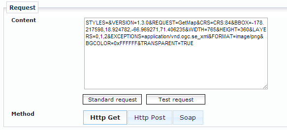
You must define detailed information about the monitoring request for each job. The request consists of a query string (or XML payload) that is sent to the service. The method (HTTP GET/POST or SOAP) of the request can be specified using the corresponding buttons.

|
The key-value-pairs (KVP) of a request must be specifically stated, beginning with a question mark. This also means that you can "extend" the base URL over the content before using the question mark to indicate that the query parameters follow. This is especially interesting for RESTful services. |
For each service type, there is a Standard request (e.g. Capabilities request) which is predefined and which can be inserted into the Content field.
?Request=GetCapabilities&Service=WMSIf any other request shall be used for monitoring purposes, the KVP information must be entered in the Content field.
?BBOX=-178,-90,179,90&WIDTH=400&HEIGHT=300&SRS=EPSG:4326&Layers=countries&version=1.1.1&service=WMS&FORMAT=IMAGE/jpeg&TRANSPARENT=TRUE&request=getmapFor a job definition using HTTP POST or SOAP as a requesting method, it is possible to define the corresponding inputs here.
<GetFeature version="1.0.0" service="WFS" maxFeatures="10" xmlns="http://www.opengis.net/wfs">
    <Query typeName="ABC"/>
</GetFeature>
Three different types of HTTP request methods can be selected: GET, POST or SOAP.
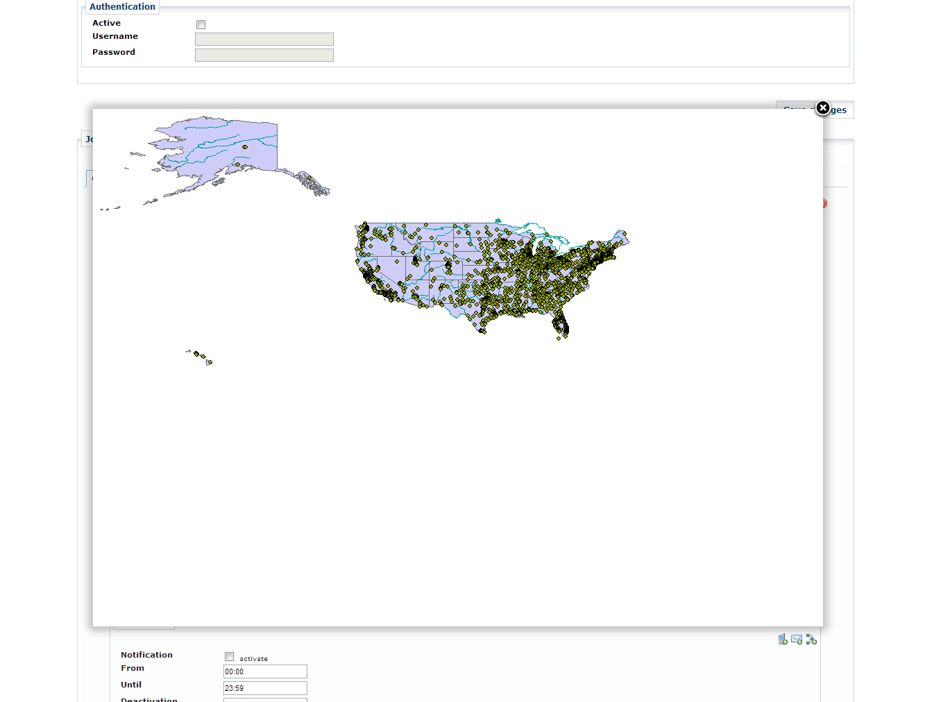
You can send a test request to see whether the expected response is given for the job.

Enterprise Geodatabase DirectConnect monitoring
Quite similar to ArcSDE monitoring described above it is possible to monitor Esri Enterprise Geodatabases via Direct Connect. In this case no SDE Application Server is involved and the database holding the geodatabase schema is accessed directly.
If this service type is selected, the label Service URL will change to Direct Connect address. Along with that, a number of additional fields will occur:

The field DirectConnect address picks up the connection string to the Enterprise Geodatabase you want to connect to.
-
For a PostgreSQL database the connection string is
sde:postgresql:<HOSTNAME>,<DB_PORT>. -
For a Oracle database the connection string
-
sde:<HOST>[:<DB_PORT>]/<INSTANCE> -
sde:oracle11g$//<HOST>[:<DB_PORT>]/<INSTANCE>(there are other connection string formats available).
-
-
For a MS SQL Server the connection string is
sde:sqlserver:<HOST>,<DB_PORT>.
The field database allows for specifying the schema or database name you want to connect to.
The concrete meaning of this field is vendor specific.
| Please check Esri documentation for all available database connection strings. |
Optional parameters
Optionally, the following parameters can be entered into the form to further monitor specific aspects of the SDE instance.

| All fields are optional, but if you enter values into Feature count condition or Object query (SQL) a value for Feature class must be given. |
- Feature class
-
Checks the existence of the feature class.
The name needs to be fully qualified:
<Schema>.<Featureclass>, whereas<Schema>refers to the owner of the feature class. - Feature count condition
-
Tests the number of features that shall be present.
You might combine the number with the following comparison operators:
>,<and=. - Object query (SQL)
-
Tested if specific features are present.
This filed stores the
WHEREclause of an SQL query. Thus, enter the string in quotation marks.-
POPULATION>10000 -
FEDERAL_STATE='NRW'
The job is treated as
okif the object query yields one or more rows. -
| Testing the request will not only check the connection to the server it will also perform the queries in the input fields. |
|
Please make sure you have provided Esri’s ArcObjects library and your database’s vendor library available on service.monitor application classpath. Furthermore, service.monitor needs to be able to obtain a Esri License for executing the requests to the EGDB. Obtaining the license works pretty much the same like obtaining a license for an Esri Engine application. Please verify with Esri’s documentation to set up the system correctly. |