Input configuration
map.apps ETL can be configured to use one, multiple or all of the following input methods:
-
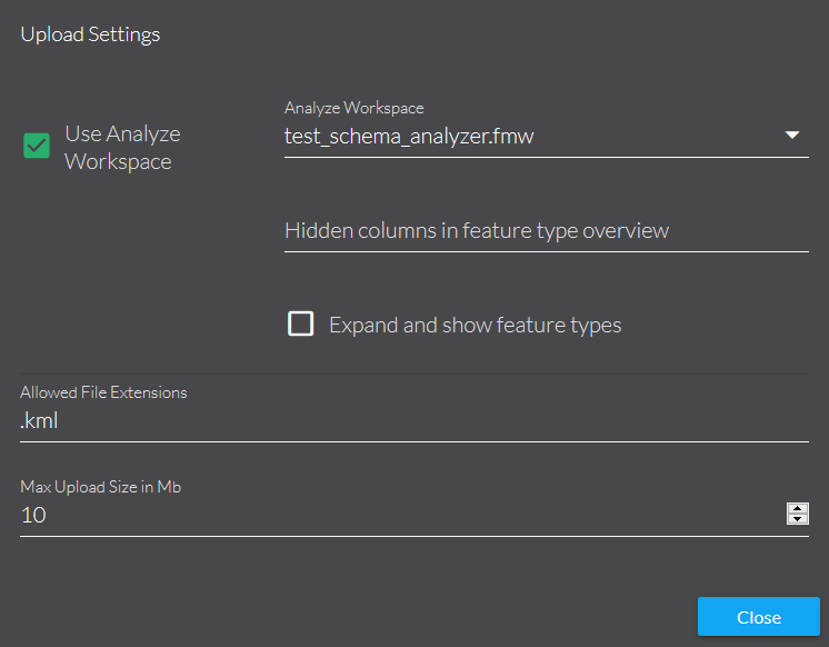
File upload
-
Features from the map
-
Resultcenter
-
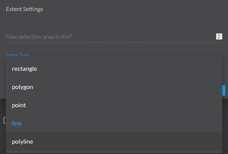
Map extent selection
Published Parameters
All input methods use a Published Parameter to receive information from map.apps ETL. The parameters are:
File upload
mapapps_etl_files-
Provides the location of the uploaded files on the FME Server.
mapapps_etl_featuretypes(optional)-
Provides the feature types of the uploaded files on the FME Server.
Features from the map
mapapps_etl_features-
Provides the location of a file containing EsriJSON features previously uploaded from map.apps ETL.


